Home > Travel > Utah 2001
01/03 | 01/04 | 01/05 | 01/06 | 01/07 | 01/08 | 01/09 | 01/10 | 01/11 | 01/12
|
||
|
Home > Travel > Utah 2001 01/03 | 01/04 | 01/05 | 01/06 | 01/07 | 01/08 | 01/09 | 01/10 | 01/11 | 01/12 |
||
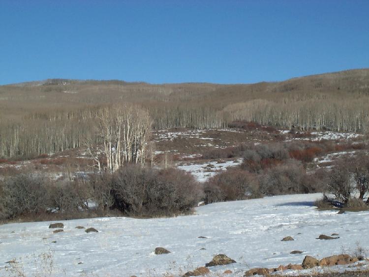
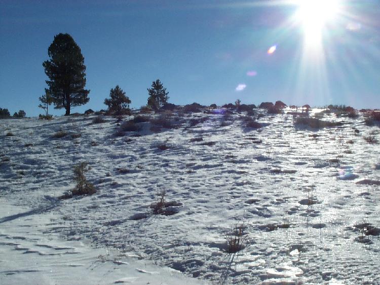
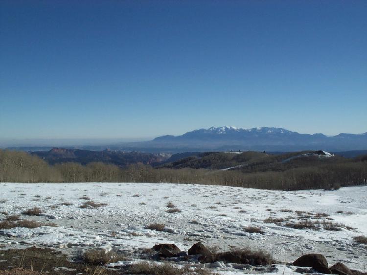
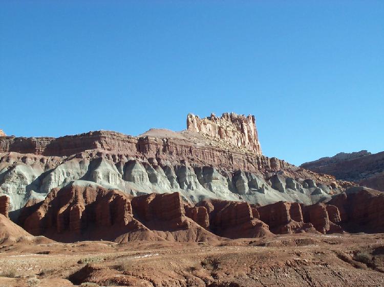
Capitol Reef National Park Friday, January 5, 2001 We start from our motel in Escalante at about 8 a.m. and head to Capitol Reef National Park. On our way, we drive over a 8400 feet high pass - the landscape to the right and the left is still covered in snow, and there are endless forests of birch trees reaching to the horizon, interspersed with a few firs. The weather is perfect again - blue sky and air so clear we can see for miles. One viewpoint has a plate with the headline "On a clear day, you can see forever" and a map of all the far-away mountain tops - and we can actually see mountains in the distance that are not even on the map!
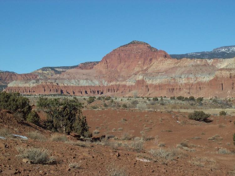
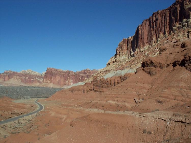
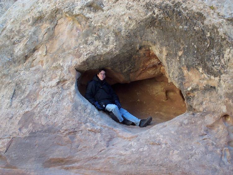
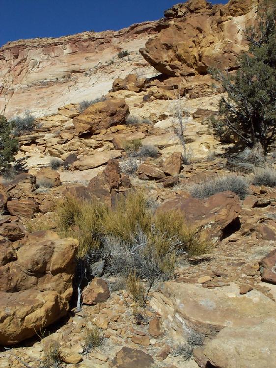
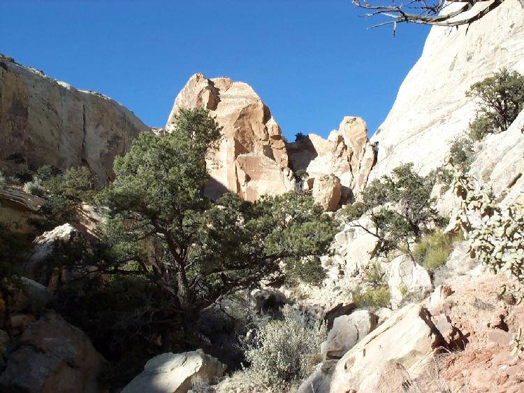
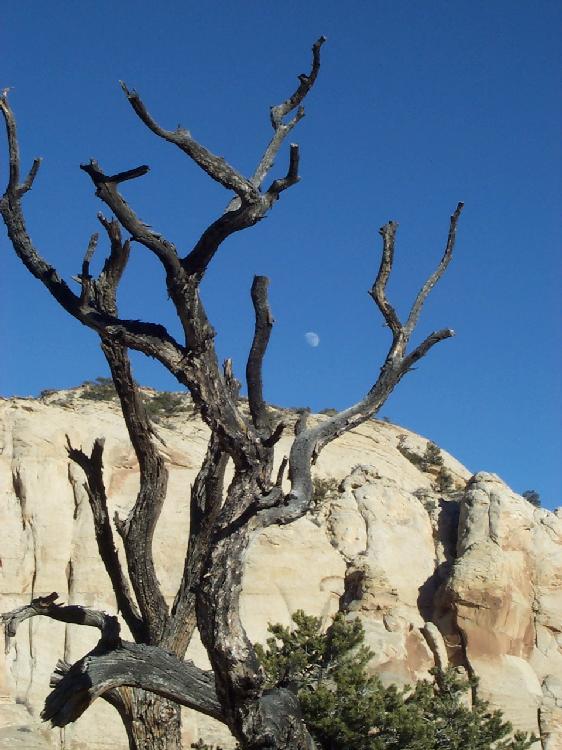
We can already see the 100 mile long folded-up mountain range of Capitol Reef in the distance, and as we drive closer, we can discern the different layers of rock by their colors - black on the bottom, then a kind of blueish gray, then red-orange, then yellowish-white. The rock here is so soft that over time, water carves holes into it - some only one centimeter in diameter, some ten meters and more.
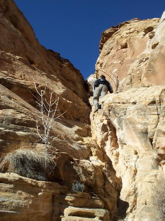
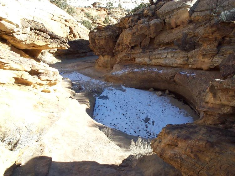
After a short look at Gooseneck Canyon, a small canyon carved by a winding river, we take the scenic drive which take us to the Capitol Gorge, a tall canyon, about as wide as a one-way road on the bottom. We walk along the bottom of the canyon and then climb over rocks to two big round holes in the ground - when they are filled by rain, the water stays in there because it can't seep into the ground. Of course, at this time of the year, both "waterpockets", as they are called, are frozen solid and covered with a thin layer of snow. Nevertheless, we get quite hot climbing over all those rocks.
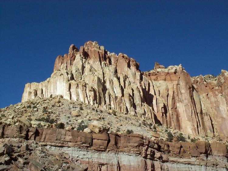
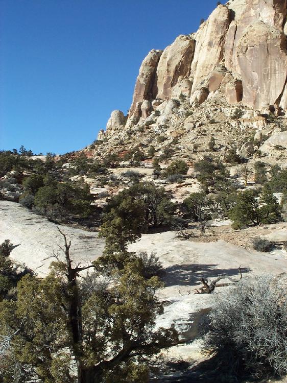
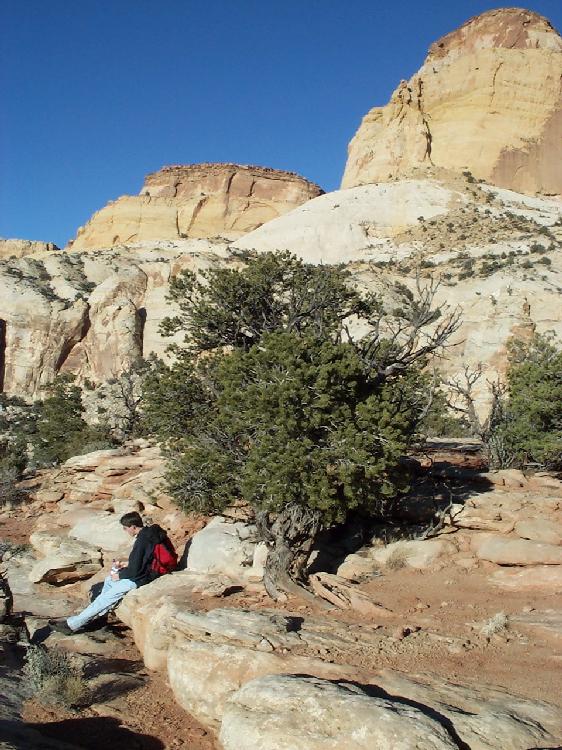
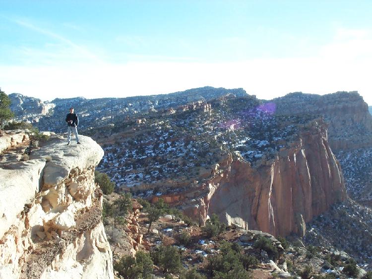
Next, we hike to the base of the Golden Throne, a round mountain that looks like the lower half of a cone made all of yellowish rock. The trailhead is at 5400 feet, the trail's end at 6500 - quite an incline over 2 miles. We walk along the rim of three canyons that are carved into the rock wall before we finally stand on a plateau that offers a breathtaking view of the Golden Throne on one side and the valley on the other. The throne shines in bright orange in the evening light. We have a picknick and take a couple of pictures of each other standing on the edge of the plateau, next to over 100 meter high vertical drop-offs. Those are "breath-taking" views indeed!
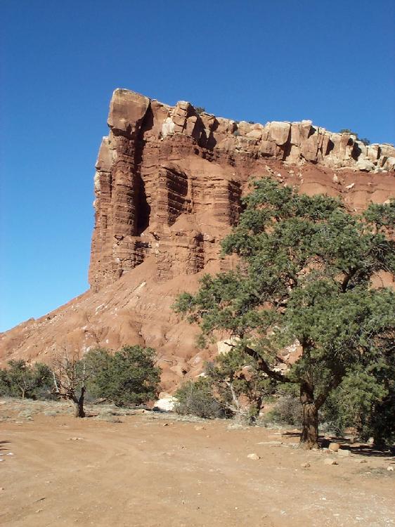
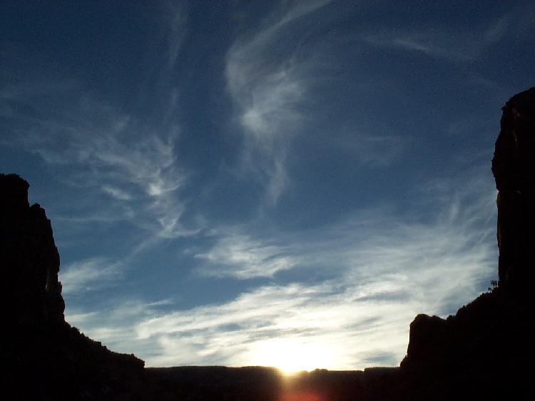
The sun is already setting, so we race back on the scenic road for a final hike to Hickham Arch, making only brief photo stops at the Grand Wash to capture the unique lighting of the rocks and the sky.
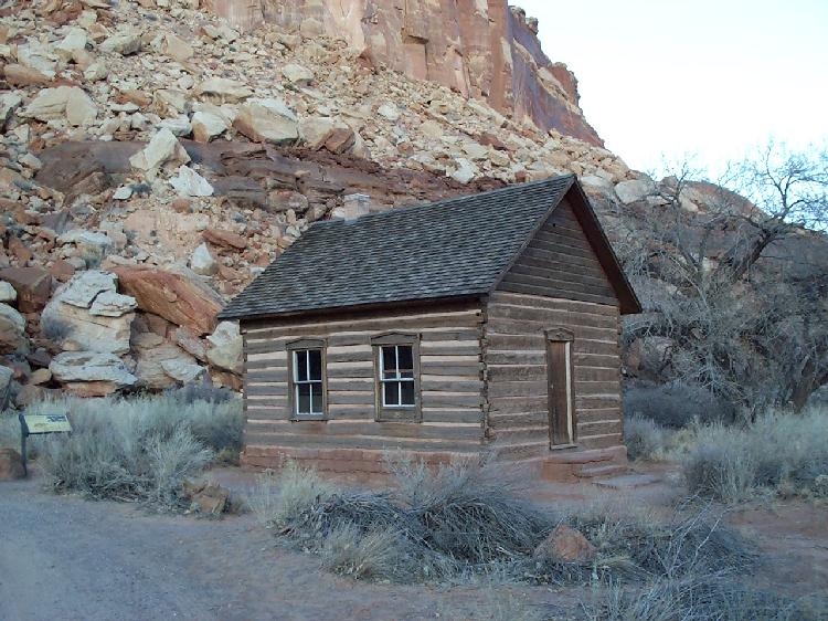
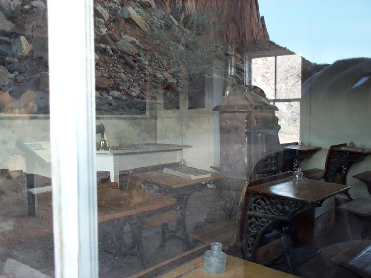
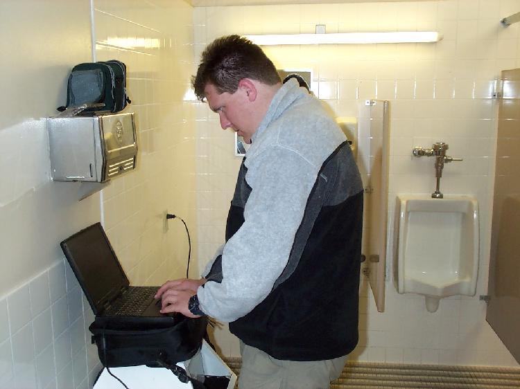
We stop briefly at the old schoolhouse of an ancient Mormon settlement - a really small hut with only one room and a couple of desks in it. Another stop is forced by technology - we need power for Nils' laptop to download pictures from his camera and free up some memory. However, at this time, every place with a power socket is locked - except for the men's bathroom at the visitor center :-)
Finally, we start hiking to Hickham Arch. Dusk is setting in quickly, and we finally reach the arch in twilight that's too dark for photography. It's an impressive 130-feet-wide bridge of rock that you can actually walk under. On the trail returning to our car, we already have to use a flashlight to keep from tripping in the near-darkness. Unfortunately, we don't have the time for two more hikes we had planned before, as well as a visit to some old pteroglyphs drawn on the rock. All in all, we have seen less then ten cars and less than five people all day today - we really feel like we have the whole park to ourselves! We drive to Moab for over two hours, right next to Arches National Park which we will explore tomorrow. < 01/04/2001 | 01/06/2001 > |